Isla Gorriti: The Island Off Punta del Este You Can Actually Visit
Two islands sit off Punta del Este and visitors mix them up constantly. Isla Gorriti is the one with pine woods, calm swimming beaches and abandoned Spanish cannon, close enough to the port that you can go across for the afternoon.
Isla Gorriti against Isla de Lobos, side by side
Distance and lighthouse figures for Isla de Lobos come from its Wikipedia entry. Gorriti's position is shown qualitatively, since no official distance figure is published.
What is Isla Gorriti, and where does it sit?
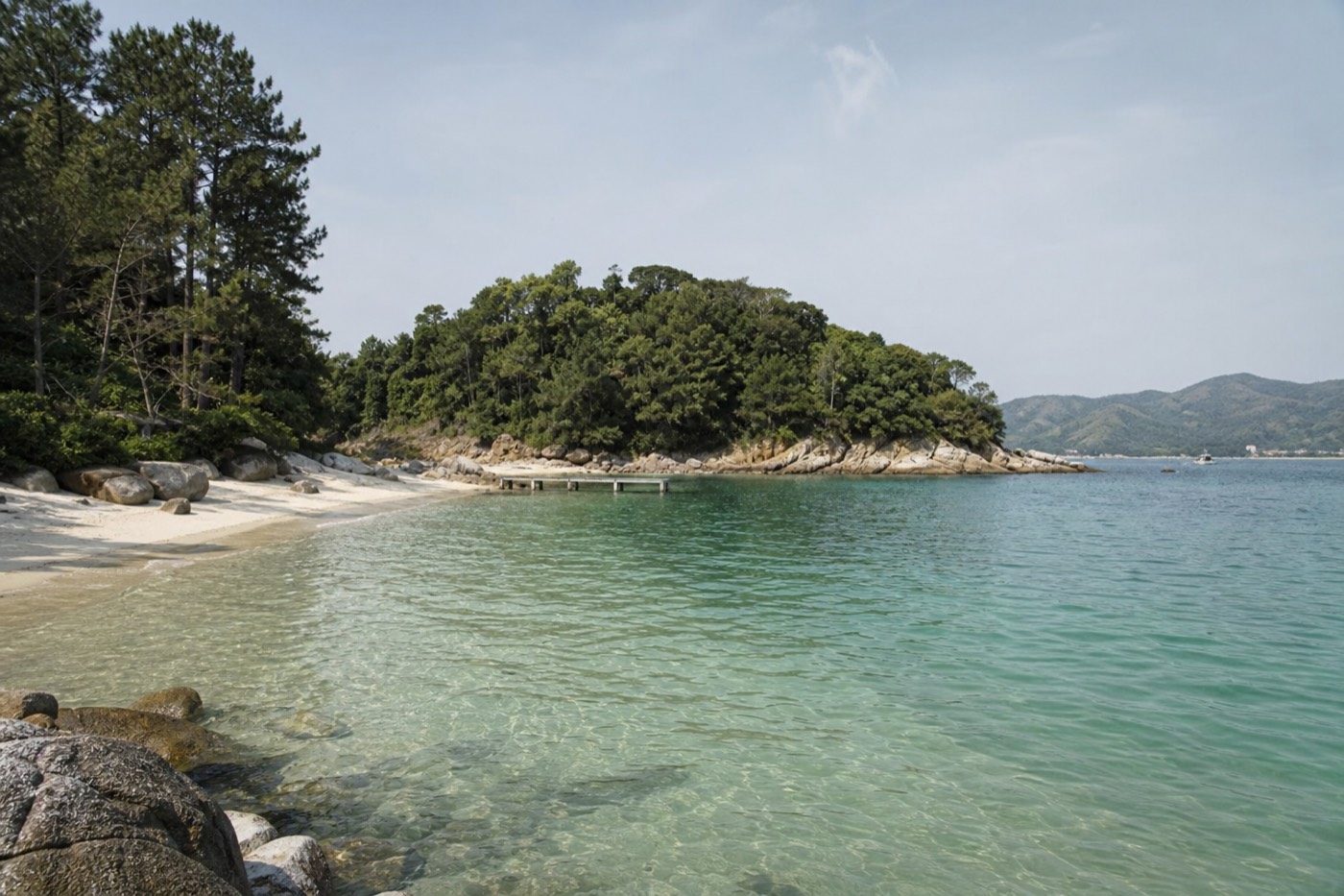
Isla Gorriti is the small wooded island lying just off the Punta del Este peninsula, close enough that it forms the view from Playa Mansa at sunset. It has sheltered beaches, pine and eucalyptus cover, and the ruins of eighteenth-century Spanish gun batteries. Unlike its famous neighbour, you can land on it.
Look west from the calm side of the peninsula and the low green line on the water is Gorriti. That proximity is the whole character of the place. It sits inside the bay rather than out in the ocean, which is why its water stays flat when the Atlantic side is throwing up surf, and why a launch across takes minutes rather than a committed offshore run. The island is documented on the Wikipedia entry for Gorriti Island, which records its position in Maldonado Department and its status, alongside Isla de Lobos, as declared national heritage.
Two islands, then, and they could hardly be less alike. One is a protected wildlife rock 8 kilometres out that you look at from a boat. The other is a short crossing away and is somewhere you take a towel and a packed lunch. The confusion between them is the single most common planning error we see on this stretch of coast, and it is worth sorting out before you spend a morning on the wrong assumption. The full picture of the offshore one is in our guide to the sea lion island 8 kilometres offshore.
Gorriti also explains something about the geography of the resort itself. The island helps shelter the bay side, which is part of why Playa Mansa behaves like a lake while Playa Brava behaves like an ocean. That contrast runs through everything on the peninsula, and we break it down in the guide to the two main beaches and which one suits you.
How is Isla Gorriti different from Isla de Lobos?
Completely different visits. Gorriti is close inshore, wooded, has calm swimming beaches and old fortifications, and you land and spend a few hours. Isla de Lobos is 8 kilometres out in the Atlantic, treeless, holds a colony of hundreds of thousands of sea lions, and is a protected reserve you circle by boat without landing.
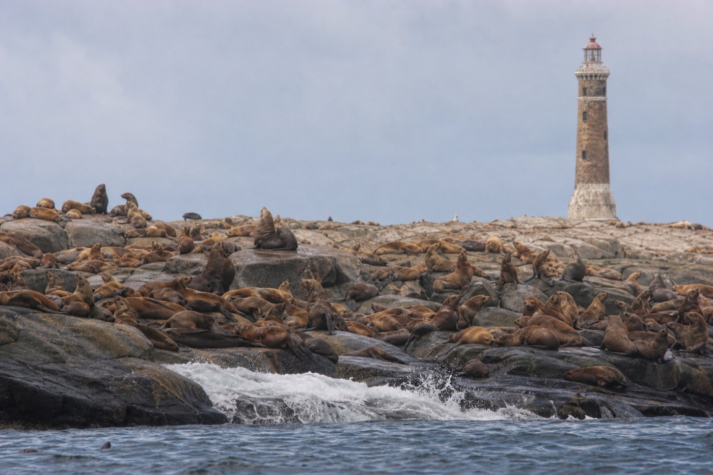
People conflate the two because they are both described as islands off Punta del Este and both appear in the same sentence in a lot of travel writing. But the practical decisions they demand are opposite. One is a beach day that happens to involve a boat. The other is a wildlife excursion with weather risk, seasickness and nothing to do at the far end except look. Getting this wrong means either dragging a cool box onto a boat that never lands, or turning up for the wildlife spectacle and finding pine trees.
The table below is the version we give people who ask at the port. It is the fastest way to work out which island your day actually wants.
| Isla Gorriti | Isla de Lobos | |
|---|---|---|
| Where it is | Close inshore off the peninsula, inside the bay | About 8 km southeast, in the open Atlantic |
| Can you land? | Yes, launches land visitors on the island | No, protected reserve and part of a national park since 2024 |
| Why you go | Sheltered swimming, pine woods, old gun batteries, quiet | To see one of the largest sea lion colonies in the hemisphere |
| How long | Half a day, easily longer if you pack for it | Time on the water only; nobody disembarks |
| What you see | Calm beaches, woodland, abandoned cannon, the peninsula skyline | Sea lions and fur seals in vast numbers, and a 59 metre lighthouse |
| Sea conditions | Short sheltered crossing, usually flat | Fully exposed run each way, cancellations normal |
| Suits | Families, swimmers, anyone wanting a quiet beach day | Wildlife travellers with a flexible morning and good sea legs |
| What ruins it | Forgetting food and water; there is little on the island | Wind, and expecting a landing that never comes |
If your trip is short and you can only justify one of them, the calmer island is usually the better call, for the simple reason that it does not depend on the weather in the same way.
What are the beaches on Isla Gorriti like?
Sheltered and shallow rather than dramatic. The two known beaches are Playa Honda and Puerto Jardin, both on the protected side facing the mainland, with clear flat water that behaves nothing like the Atlantic surf a few hundred metres away on Playa Brava. Sand is fine, the setting is wooded, and facilities are minimal.
What makes them worth the crossing is not the sand itself, which the mainland also has in quantity. It is the quiet. Even in a busy summer week, an island beach reached only by boat filters out most of the crowd that fills the peninsula, and the tree line running down almost to the water gives you shade that Playa Mansa cannot offer. Travellers regularly describe the water as calm enough for weak swimmers and children, which is consistent with the island's position inside the bay.
Manage two expectations before you go. First, there is no beach infrastructure of the sort you get on the mainland, so no chair rental strip, no line of vendors and no reliable shade beyond the trees. Second, the boats set the rhythm of your day, and the last return is a hard limit rather than a suggestion.
| Beach | Character | Best for | Watch for |
|---|---|---|---|
| Playa Honda | Sheltered bay-side sand with calm shallow water | Swimming, a long lazy stay, families | Limited natural shade at midday; bring your own cover |
| Puerto Jardin | The landing side, sheltered and close to where launches arrive | Short visits and anyone keeping an eye on boat times | Busiest part of the island when a launch has just come in |
| The wooded interior paths | Pine and eucalyptus cover linking the shorelines | Walking between beaches and reaching the batteries | Closed shoes are better than flip flops on the tracks |
| Exposed outer shore | Rockier and open to more movement in the water | Views and photographs rather than swimming | Not the side to swim from; stay on the sheltered beaches |
What is left of the fortifications on Isla Gorriti?
Ruined artillery batteries and abandoned cannon, scattered in the woods and on the eastern side. The island was settled from the eighteenth century, when Spanish authorities fortified it against Portuguese influence in the region, and the stonework and guns left behind are what visitors now stumble across between the beaches.
The history goes back further than the fortifications. Juan Diaz de Solis reached this stretch of coast in 1516, and Gorriti's position at the mouth of the bay made it strategically useful long before anyone thought of the area as a resort. Small islands guarding an anchorage were exactly the kind of ground colonial powers argued over, and Uruguay's coast sat on the contested line between Spanish and Portuguese ambitions for most of the eighteenth century.
What survives is unrestored and unmanaged in the way a mainland monument would be. That is part of the appeal: you walk a wooded path from a beach and find masonry and iron sitting where they were left. Treat it accordingly, since loose stonework and rusted metal are not fenced or signposted for you. The island carries national heritage status alongside its offshore neighbour, so removing or climbing on things is both discourteous and pointless.
| Period | What happened | What you can see now |
|---|---|---|
| 1516 | Juan Diaz de Solis reaches this coast | Nothing physical; the date frames how long the island has been on charts |
| Eighteenth century | Settlement and fortification against Portuguese influence in the region | The battery positions and the reasoning behind where they sit |
| After the military era | Guns left in place as the island lost strategic value | Abandoned cannon, including on the eastern battery |
| Modern era | Declared national heritage together with Isla de Lobos | Protected but unrestored ruins in the woodland |
How do you actually get to Isla Gorriti?
By launch from Puerto de Punta del Este. Independent boat operators working the harbour run the short crossing, most frequently through the summer season and much less so outside it. Schedules and fares are set at the quayside rather than published in one place, so you confirm both on the day.
We are not going to invent a timetable for you, because there isn't a fixed one to quote. The realistic method is the one locals use: go down to the port in the morning, walk the dock, and ask the launch operators what is running and when the last return leaves. In December, January and February the crossings are frequent enough that you can treat it as a walk-up activity. In the shoulder and low seasons the service thins out and the question becomes whether anything is going at all.
Two things to nail down before you get on the boat. The first is the last return time, written down, because missing it on an island with minimal facilities is a genuinely bad afternoon. The second is whether your fare covers the return leg or whether you pay again, which varies by operator.
Being straight about our own role here: this site does not sell the island crossing. The boats are run by independent operators from the port, and we have no part in them. What we list are land tours around the peninsula and the coast, and the closest fit is the fully flexible private day on the peninsula, which starts at the port itself and can be shaped around whatever else you have planned. The whole set is on our page of Punta del Este tours.
How long should you plan for on Isla Gorriti?
Half a day is the natural unit. Long enough to swim, walk between the beaches, find the old batteries and eat something without watching the clock. A full day works if you pack properly for it. Anything under two hours is not worth the crossing and the coordination.
The constraint is not the size of the island but the boat schedule, which chops your day into whatever the gaps between crossings happen to be. Plan backwards from the last return rather than forwards from your arrival. That single habit prevents most of the stress people report about island days on this coast.
Below is how we would allocate the time, framed as planning allowances rather than a fixed itinerary. Adjust for the season and for how much walking your group actually wants to do.
| Length of visit | What fits | Who it suits |
|---|---|---|
| Under 2 hours | One beach and a quick look around the landing area | Nobody, really. The crossing overhead eats the visit |
| Half a day, roughly 3 to 4 hours | Swim, walk between the beaches, find the batteries, eat | Most visitors. The default recommendation |
| Full day | All of the above at an unhurried pace, plus a second long swim | Beach people with food, water and shade sorted in advance |
| Two separate short trips | Rarely practical given crossing times and fares | Nobody. Do it once and do it properly |
Where the island fits in a longer stay is a separate question, and we work through the trade-offs in our piece on how many days the coast really needs.
Recommended tours by season
Have It Your Way Private Tour in Punta del Este
Private 10-hour day with a local guide and vehicle, starting at the port. The mainland stops can follow a morning launch to Gorriti.
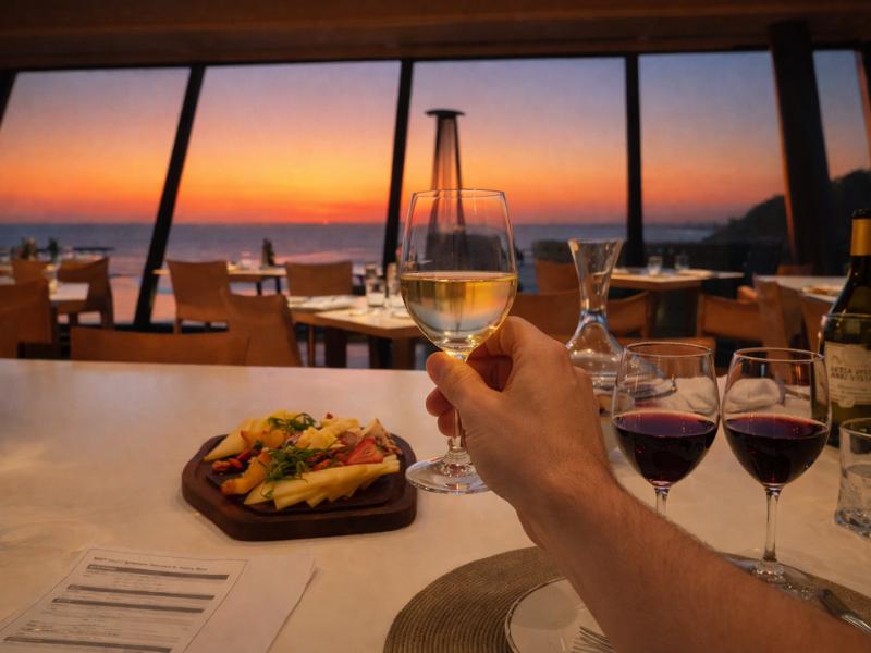
Punta Wine Lovers Tour – Exclusive Tastings & Vineyard Day
Four hours of vineyard tastings near Punta del Este. Fits beside an island morning in October–December or March–April.
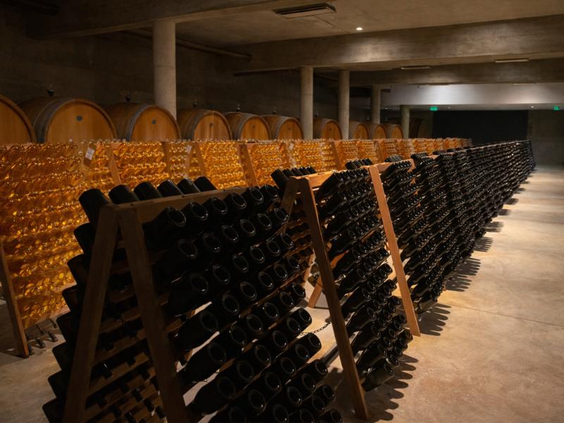
Bodega Garzón Wine Lovers Tour – Exclusive Tastings & Pairings
Seven hours of tastings and pairings at Bodega Garzón. A full land day when winter crossings are not running.
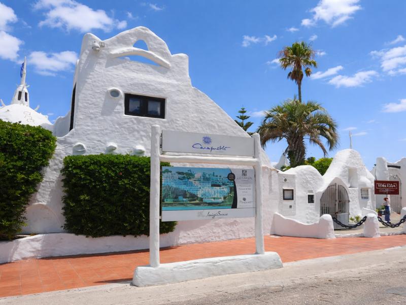
Montevideo to Punta del Este: Full-Day Guided Tour
Nine-hour guided day from Montevideo covering the peninsula landmarks. On this itinerary there is no window for the Gorriti launch.
What do you need to bring, given how few facilities there are?
Water, food, sun cover and closed shoes, at minimum. The island is not equipped like a mainland beach, so anything you have not carried across, you do without. Cash matters too, since the launch and any small kiosk trade are not reliably card friendly.
The failure mode is predictable. People treat it as a short hop, bring a towel and a phone, and then spend the afternoon rationing a single bottle of water in the sun. Punta del Este summers run hot, up to the mid thirties, and UV on this coast is strong enough to burn through a cloudy morning. The trees give shade in the interior, but the beaches themselves do not, at least not where you actually want to sit.
| What to bring | Why | Skip it if |
|---|---|---|
| More water than feels necessary | The main thing people run out of, and there is no shop to fix it | Never skip this one |
| Food you are happy eating cold | Catering is minimal and seasonal; assume nothing is open | You have confirmed a kiosk is operating that day |
| High SPF sunscreen, hat, sunglasses | Strong UV, reflective sand and water, little shade on the beaches | Never on a summer crossing |
| Closed shoes as well as sandals | Woodland tracks and ruined stonework are not sandal terrain | You are staying on the sand and not walking to the batteries |
| Cash in small notes | Launch fares and small trade at the port often want it | You have confirmed card payment with the operator |
| Dry bag for phone and documents | Small boats and a wet landing are a normal combination | Nothing you carry minds salt water |
| A rubbish bag for your own waste | Take out what you take in; this is protected heritage ground | Never skip this one either |
| Light layer for the return | The bay cools quickly in the late afternoon breeze | You are back before mid afternoon |
When is the best time of year to visit Isla Gorriti?
Late October to early December and March to mid April give the best combination. Water is warm enough to swim, the peninsula is not at capacity, and crossings are still operating. January and February bring the most reliable boat service but also the crowds and the highest prices of the year.
The seasonal logic on this coast is consistent whichever activity you are planning. High summer means hot weather at 28 to 35 degrees, packed beaches, hotel rates 50 to 100 percent above the rest of the year and the whole peninsula operating at pace. The shoulder months hold 22 to 28 degrees in the day with the sea still at 22 to 25 degrees through March and April, and prices drop by 30 to 60 percent.
Where the island differs from a mainland beach is on service frequency. The thing that makes shoulder season better everywhere else, fewer people, is also the thing that reduces how many launches bother to run. That is the trade to weigh: perfect conditions with fewer boats, or guaranteed boats with a busy island. Our fuller seasonal breakdown for the region sits in the guide to picking the right month for the coast.
| Window | On the coast | For an island day |
|---|---|---|
| December to February | Hot, 28 to 35 degrees, peak crowds, top prices | Most frequent crossings and the liveliest island; go early in the day |
| March to mid April | 22 to 28 degrees, sea still 22 to 25, crowds gone | Our pick. Swimmable water and a genuinely quiet island |
| Late October to early December | Warm and bright, prices well below summer | Excellent value; check that crossings have started for the season |
| May to September | Cool to cold, short days, low season on the whole coast | Swimming is off the table and boat service is unreliable |
| Sundays in season | Busiest day across the wider area | Consider the mainland market at La Barra instead and go across midweek |
If your dates land on a Sunday, the artisan market east of town is the classic alternative, covered in our guide to the La Barra bridge and Sunday market.
Is Isla Gorriti a good idea with children?
Yes, better than most beach options on the peninsula. The crossing is short and sheltered, the swimming water is calm and shallow, and there is woodland to explore and old cannon to find. The caveats are supervision on unfenced ruins and the fact that you carry in everything a child might need.
What makes it work for families is the same thing that makes the bay side of the mainland work: the water does not have the Atlantic swell behind it. Children who would be out of their depth quickly on Playa Brava are fine on the sheltered beaches here, and the island's small scale means you can let them roam a little further than you would on a crowded mainland strand.
The honest counterweight is logistics. No shop means no forgotten sunhat replaced, no cold drink bought on impulse and no early exit if a toddler has had enough, because the boat goes when the boat goes. For families with very young children this makes the island a better half-day than a full one. Our broader family notes for the area are in the piece on the coast with kids in tow.
How do you fit the island into a day on the peninsula?
Island in the morning, mainland in the afternoon. Crossings and sea conditions are at their best early, the light for the mainland landmarks is better later, and Casapueblo works best at the end of the day. Trying to reverse the order leaves you watching boat times instead of the sunset.
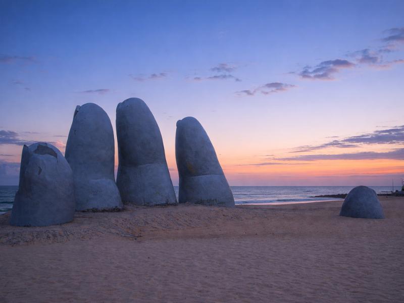
The Punta del Este peninsula is compact enough that this pairing works without a car. The port is where the launches leave and where the sea lions sit on the dock structures, so you can pick up the free wildlife stop on your way to or from the boat. La Mano and Playa Brava are a short walk from the same area, and the bay-side beaches sit on the other flank of the peninsula.
| Time of day | What to do | Why then |
|---|---|---|
| Early morning | Port, confirm the crossing, sea lions on the dock structures | Calmest water, fewest people, and you fix the return time first |
| Late morning to early afternoon | Isla Gorriti: swim, walk the woods, find the batteries | Warmest water and the full stretch between crossings |
| Mid afternoon | Return, then La Mano on Playa Brava | The sculpture is free, always open and a few minutes from the port area |
| Late afternoon | Punta Ballena and Casapueblo, allowing at least 90 minutes | The terraces face west and the building glows at the end of the day |
| Evening | Dinner around the marina or on Gorlero Avenue | The peninsula's dining core, walkable from the beach areas |
That afternoon half of the plan is exactly what the private peninsula tour covers, and the timing for the clifftop stop is set out in the Casapueblo and Punta Ballena guide.
What do visitors most often get wrong about the two islands?
Mixing them up, in both directions. People arrive at the port expecting to land on the sea lion island, or they cross to Gorriti expecting a wildlife spectacle. The second most common error is treating the island as a walk-up beach with facilities, and packing accordingly.
The pattern is easy to explain. Both islands appear in the same paragraph in most short travel write-ups, both get the word island attached, and neither gets much detail. Add the fact that the coastal tours point out the Lobos lighthouse from the harbour while launches to Gorriti leave from the same dock, and the confusion practically arranges itself.
| The mistake | What actually happens | The fix |
|---|---|---|
| Booking a boat expecting to land on Isla de Lobos | Landing is restricted; the boat circles the island and returns | Go to Gorriti if you want to set foot on an island |
| Crossing to Gorriti expecting sea lions in their thousands | Gorriti is a wooded beach island, not a wildlife colony | Watch the sea lions free of charge on the port dock structures |
| Turning up without water or food | Facilities are minimal and seasonal | Pack for a day out with no shops at all |
| Not writing down the last return time | The boat leaves; you are still on the island | Confirm it with the operator before boarding, not after |
| Planning the island in low season | Crossings may not be operating at all | Check at the port the day before, or shift to a mainland plan |
| Wearing only flip flops | Woodland tracks and ruined stonework punish them | Carry closed shoes in the beach bag |
Is Isla Gorriti worth it if you only have one day?
Probably not on a single day, and yes on anything longer. One day on the peninsula is already tight for La Mano, both beaches and Casapueblo. The island is a half day that competes directly with those, and it makes far more sense on a second or third day when the obvious sights are done.
Visitors arriving on a coach day trip from Montevideo essentially have the decision made for them, since a nine or ten hour itinerary that includes the drive leaves no window for a boat crossing. If that is your trip, the free sea lion stop at the port is the wildlife element you are getting, and it is a good one. The full range of those coastal day trips is set out in the guide to coastal day trips leaving from the capital, and on the nine-hour guided tour from Montevideo.
For anyone staying two or three nights, the argument flips. The island is the piece of this coast that most visitors never see, it costs almost nothing beyond the launch fare, and it delivers the one thing a famous resort town struggles to provide in January: quiet. Our overall verdict on the destination, including who tends to enjoy it and who does not, is in the piece on whether the resort earns the trip.