Playa Brava vs Playa Mansa: Punta del Este's Two Beaches Compared
Punta del Este is built on a narrow point where a very large river runs out into an ocean. That single fact decides which side you swim on, which side you surf, and which side gets the sunset.
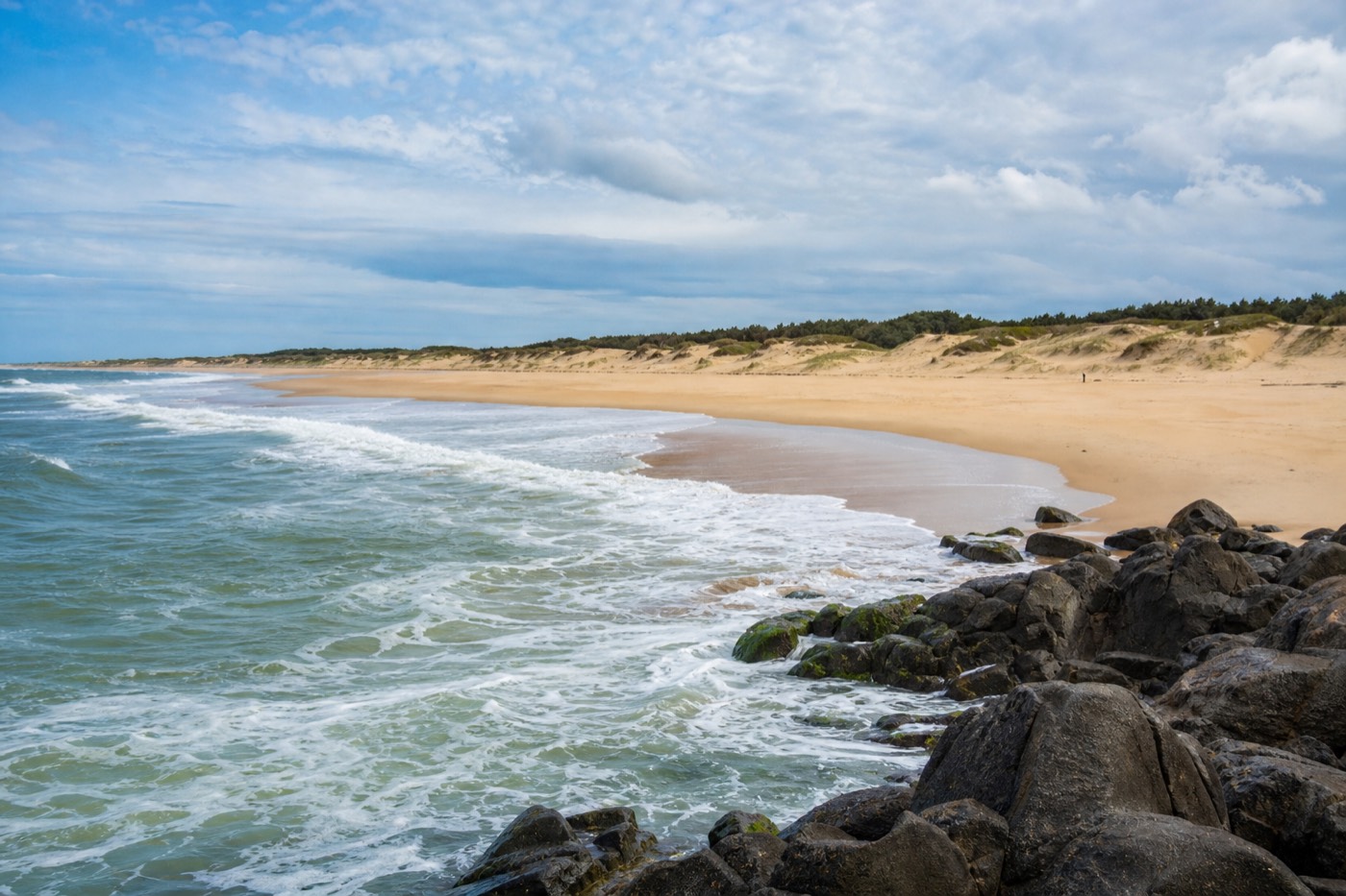
Playa Mansa and Playa Brava, side by side
A planning summary in our own voice. Conditions on any given day override it, and the wind is usually what decides which side works.
What actually makes Playa Brava and Playa Mansa so different?
One peninsula, two separate bodies of water. Playa Mansa faces west into the sheltered Río de la Plata estuary, so its surface stays flat and its shallows run a long way out. Playa Brava faces east into the open South Atlantic, which delivers swell, wind and the undertow that keeps casual swimmers close to shore.
Punta del Este sits on a narrow finger of land that pushes south into the point where a very large river meets an ocean. That is not a scenic detail. It is the single mechanic that answers almost every practical beach question a visitor has here. Where do you swim with a four year old? Where do the surfers go? Which side gets the sunset? Which side is windier at three in the afternoon? All of it falls out of which water the sand is looking at.
The Spanish names give the game away. Mansa means tame. Brava means wild, or rough. Uruguayans did not choose those words for marketing. On the western flank the headland itself acts as a breakwater, blocking the Atlantic swell before it can wrap around, and a sandbar offshore takes the energy out of whatever is left. On the eastern flank there is nothing between the sand and thousands of kilometres of open ocean.
Because the two coasts are back to back, they are also only a few minutes apart on foot at the narrow part of the peninsula. That proximity is the useful part. You are never choosing a beach for a whole trip. You are choosing a beach for the next two hours, and you can change your mind when the wind changes. Anyone putting together a first itinerary for Punta del Este should treat both sides as one system rather than two rival options.
| The mechanic | Playa Mansa (west side) | Playa Brava (east side) |
|---|---|---|
| Water body it faces | Río de la Plata estuary | Open South Atlantic |
| Direction the beach looks | West, toward the river mouth | East, toward open ocean |
| Typical surface | Flat to gently rippled, often mirror calm in the afternoon | Rolling breakers, whitewater, visible swell lines |
| Depth near shore | Shallow, frequently knee deep a long way out | Shelves away faster, with pull along the shore |
| Wind exposure | Partly sheltered by the headland | Fully exposed, no shelter in any direction |
| Signature landmark | Sunset views out toward Isla Gorriti | La Mano, the giant hand rising from the sand |
| Who gravitates here | Families, swimmers, sunset walkers, loungers | Surfers, photographers, long-walk types |
| Common visitor pattern | Beach time and swimming | Photograph, walk, watch, then move on |
What is Playa Brava actually like when you stand on it?
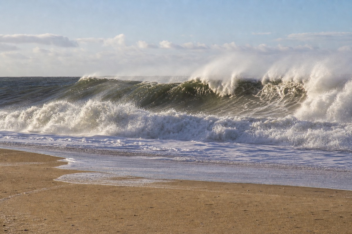
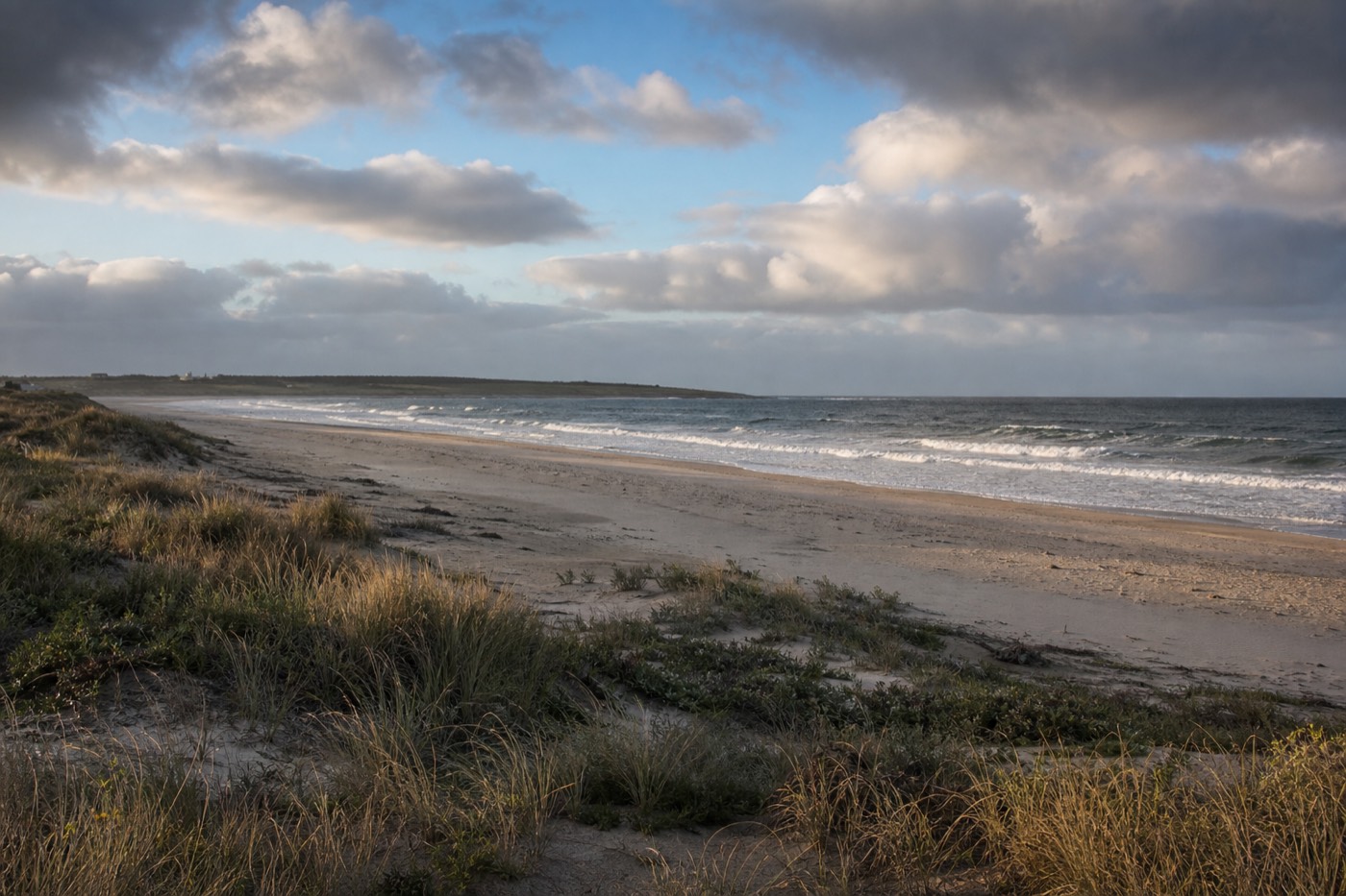
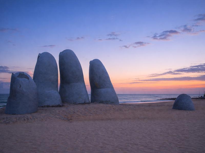
Brava is the dramatic one: a wide, open, wind-scoured stretch of sand with proper Atlantic rollers coming in, and the concrete fingers of La Mano rising out of the beach near its western end. It photographs better than it swims, and most visitors treat it as a place to look at rather than a place to spend six hours.
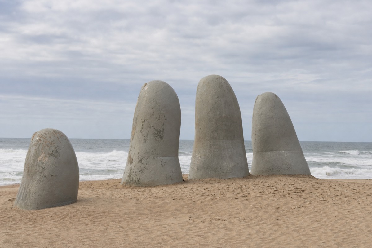
The sculpture is the reason nearly everyone comes. La Mano was made by the Chilean artist Mario Irarrázabal and installed in 1982, and it is the image most associated with Punta del Este anywhere in the world. It reads as five concrete fingers at roughly human scale from the road, then resolves into something around ten times that size as you walk up to it. There is no ticket, no fence and no opening hour. It sits on a public beach and it is free to see at any hour of any day.
Beyond the sculpture, Brava keeps going east in a long, generous arc. The sand is broad enough that even on a busy January afternoon you can walk fifteen minutes and find space. Surfers work the peaks, and the swell that makes it worth their while is exactly the swell that makes casual swimming a poor idea. Red flags go up regularly, particularly on windy days and through the cooler months, and the undertow is the reason.
Two practical notes travellers report often. Sections of Brava carry pebbles and coarser grit rather than the powdery sand of the sheltered side, so flip flops or water shoes earn their space in the bag. And the light matters more here than almost anywhere else in town: early morning and late afternoon give you the sculpture without the midday crowd and without the flat, harsh glare that ruins the photograph. Our advice on dressing for a day on this coast starts with wind, not heat.
What is Playa Mansa actually like when you stand on it?
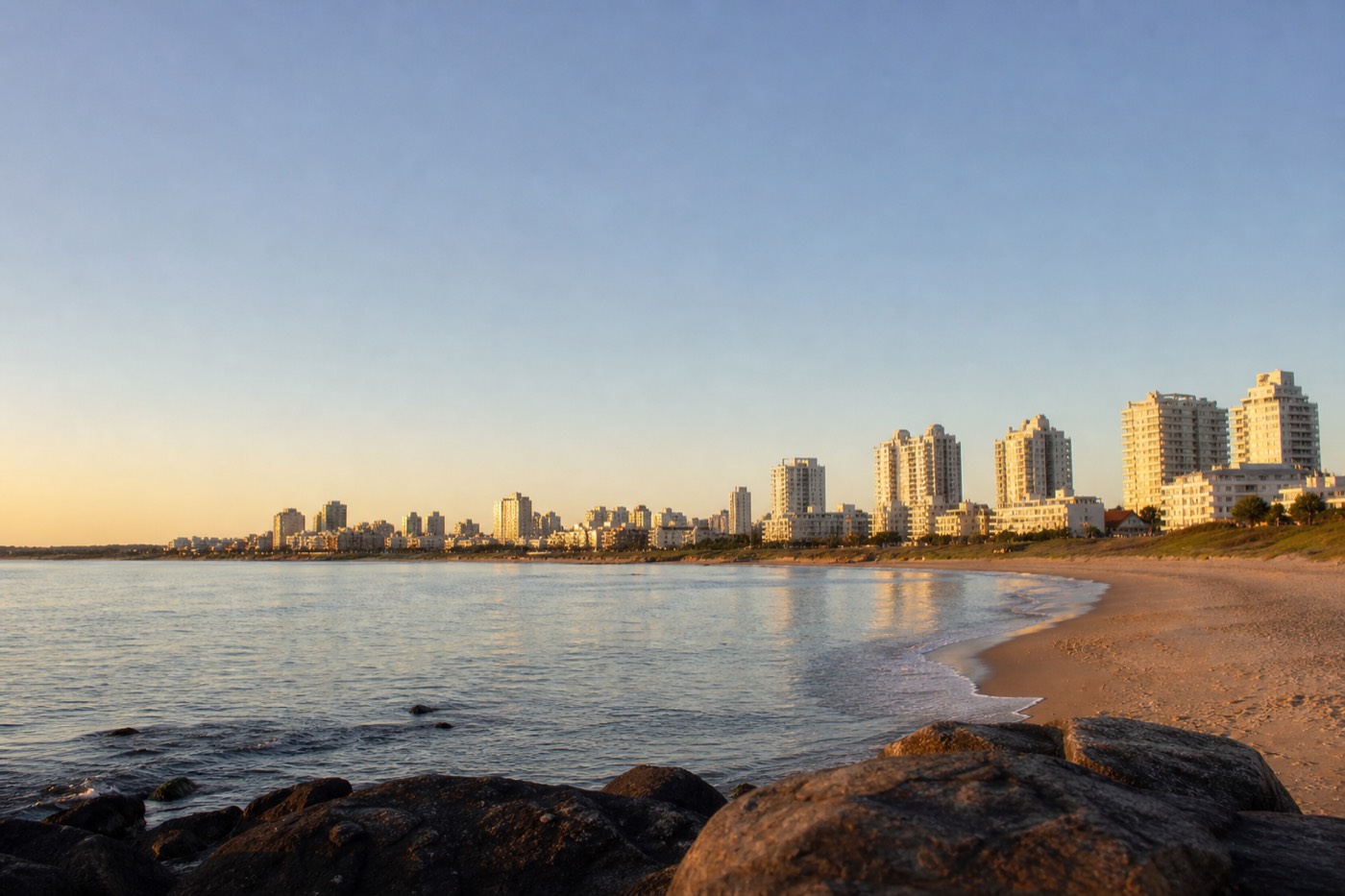
Mansa is the working beach, the one people actually swim at. Sheltered by the peninsula and an offshore sandbar, it holds shallow, gentle water that stays wadeable a long way from the sand, and it faces west, which makes late afternoon and sunset the best part of the day there.
The character is completely different from Brava, and the change happens over a walk of a few minutes. Instead of breakers you get a surface that on a still afternoon goes close to mirror flat. Instead of a sudden shelf you get water that is often only knee deep well out from shore. That combination is why parents, weak swimmers and anyone who simply wants to float rather than fight the sea end up here.
Mansa also owns the view. Looking west from the sand you see Isla Gorriti sitting offshore, and the sun goes down behind and beyond it. The guided coastal itineraries that come across from Montevideo tend to close their day here for that reason, arriving mid afternoon once the visual density of Casapueblo, the harbour and the sculpture is behind them. It is the unhurried end the day earns rather than a compromise.
The Mansa side is also the practical side. It runs along the developed western shoreline where the sunbed and umbrella concessions, kiosks and beach service cluster, and it is the shore most walkable from central accommodation near Gorlero Avenue. If you are travelling with small children, this is not a close call: read our notes on Punta del Este for families and plan your beach hours on this side, with Brava as a short excursion for the photograph.
Which beach should you pick for your kind of trip?
Match the beach to the activity, not to the day. Swimming, small children and lounging belong on Mansa. Surfing, big-scale photography, long windy walks and the La Mano shot belong on Brava. Most visitors who enjoy Punta del Este do both, usually within the same afternoon.
The mistake is treating this as a loyalty question. Locals do not pick a side and stay there. They read the wind, look at the flag, and go where the conditions suit what they want to do in the next couple of hours. A traveller with three days here will probably touch both coasts every single day without thinking about it.
The table below is our read on which side rewards which traveller. It is a planning guide in our own voice rather than an operator promise, and conditions on any given day override it.
| Traveller or activity | Go to | Why it works |
|---|---|---|
| Families with children under ten | Mansa | Shallow, gentle water and easy sightlines across a flat surface |
| Confident swimmers wanting real distance | Mansa | Predictable conditions without fighting an undertow |
| Surfers and bodyboarders | Brava | The only side of the peninsula with genuine Atlantic swell |
| The La Mano photograph | Brava | The sculpture is on Brava and nowhere else |
| Sunset drinks or a sunset walk | Mansa | West-facing sand with Isla Gorriti in the frame |
| Sunrise over water | Brava | East-facing, straight out over open ocean |
| A long, empty walk away from crowds | Brava, heading east | The arc keeps going well past where day visitors stop |
| A full lounging day with service | Mansa | Where sunbed and umbrella concessions and kiosks cluster |
| Windy day, plans falling apart | Mansa | Partial shelter from the headland takes the edge off |
How do the beaches east of the peninsula compare?
Everything east of the wavy bridge is on the Atlantic side, so it inherits Brava conditions rather than Mansa conditions. La Barra sits about ten kilometres east and is bohemian and low key. José Ignacio is roughly another thirty five kilometres beyond that, genuinely remote and considerably more sophisticated.
Recommended tours by season
Montevideo to Punta del Este: Full-Day Guided Tour
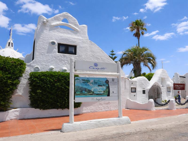
Nine hours from Montevideo, including Playa Mansa, La Mano and Casapueblo. The usual option for a first summer look at both coasts.
Have It Your Way Private Tour in Punta del Este
Up to ten hours in a private vehicle covering both beaches, La Mano, the yacht port and Casapueblo, on your own schedule.
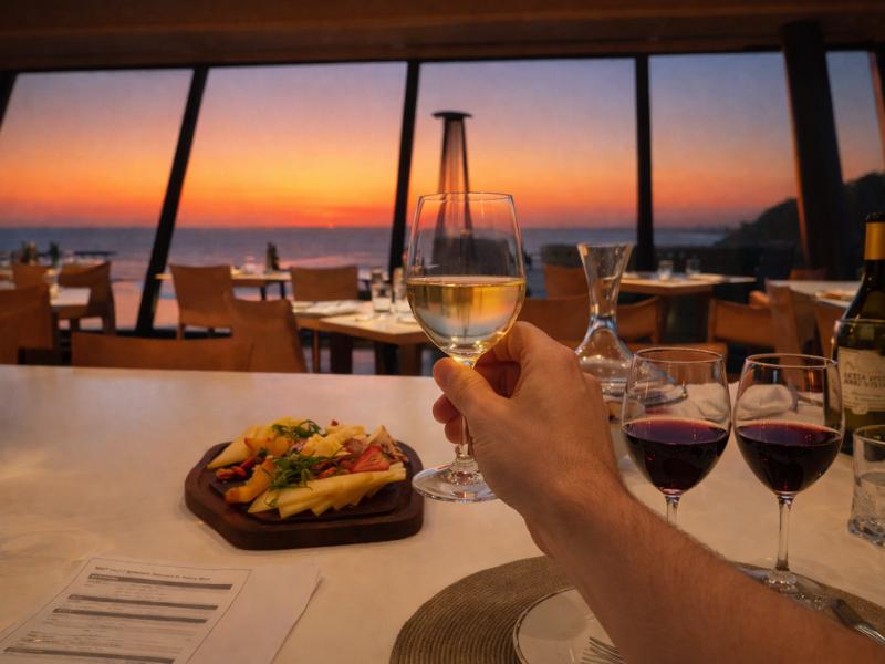
Punta Wine Lovers Tour – Exclusive Tastings & Vineyard Day
Four hours of vineyard tastings. A fit for autumn and spring days when you want time on and off the sand.
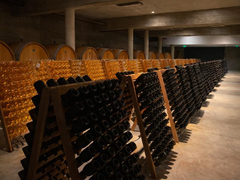
Bodega Garzón Wine Lovers Tour – Exclusive Tastings & Pairings
A seven-hour tasting and pairing day. Useful in winter, when a beach day is not the reason to come.
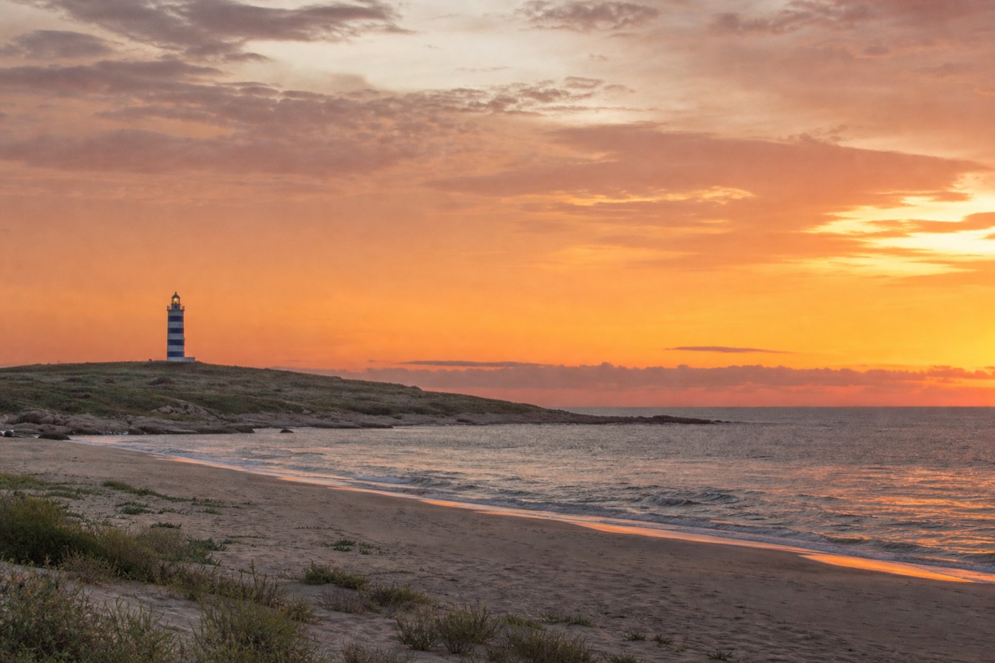
This trips people up. Once you cross the Puente de la Barra, the undulating bridge over the Maldonado River, you are no longer on a peninsula with a sheltered flank. You are on an open ocean coastline running east, and the beaches there behave accordingly: more swell, more wind, fewer concessions, more space. Some travellers love that and never return to the peninsula sand. Others find it exposed.
La Barra is the easy first step out. The bridge itself is free, open at all hours and takes five to fifteen minutes to photograph, and the artisan market along the main road runs on Sundays from mid morning to sunset. Any other day of the week the bridge is a pretty detour rather than a destination in its own right, which is why we push people toward a Sunday visit to La Barra if the calendar allows it.
José Ignacio is a different proposition again, a small settlement around a lighthouse that has become the quiet, expensive end of the coast. It rewards people who already have their peninsula day behind them. Our José Ignacio day trip notes cover the drive and the timing; the short version is that it is not a spontaneous afternoon add-on from central Punta.
| Beach area | Roughly how far from the peninsula | Water character | What it is good for |
|---|---|---|---|
| Playa Mansa | On the peninsula, west flank | Sheltered estuary, shallow and calm | Swimming, families, sunset |
| Playa Brava | On the peninsula, east flank | Open Atlantic, swell and undertow | La Mano, surfing, long walks |
| La Barra | About 10 km east | Open Atlantic, exposed | Sunday artisan market, the wavy bridge, bohemian dining |
| José Ignacio | About 45 km east in total | Open Atlantic, remote and windy | Quiet sand, lighthouse, high-end restaurants |
| Punta Ballena | About 12 km west | Rocky headland rather than swimming beach | Casapueblo, cliff views, sunset terrace |
How cold is the water, and when can you honestly swim?
This is the South Atlantic, not the Caribbean. The swimming season here is real but narrow, running roughly from late spring through to mid autumn, and even in that window the water reads as bracing rather than bathwarm on the exposed Brava side. Mansa always feels warmer because it is shallower and calmer, not because the sea is different.
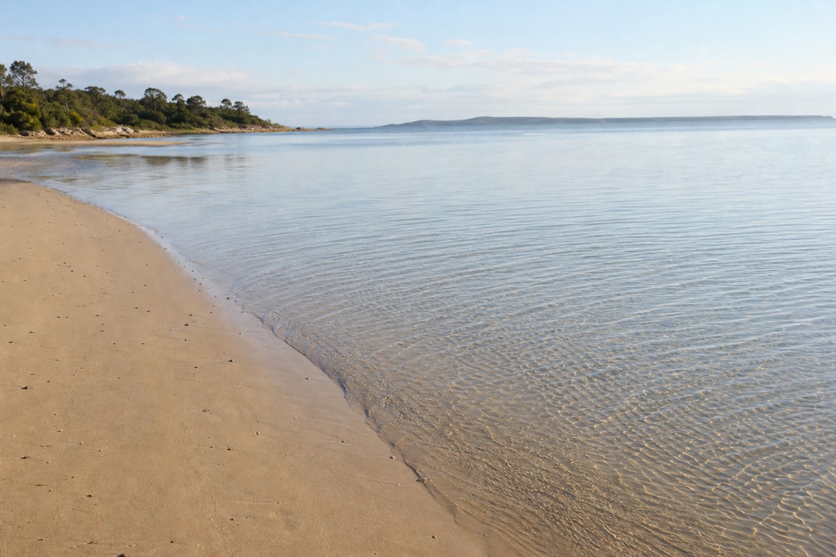
Manage the expectation before you pack. Punta del Este is a summer resort at a latitude that produces genuine seasons, and its ocean is fed by cold Southern Ocean water rather than a tropical current. Our own published season guidance puts daytime air temperatures around 22 to 28 degrees Celsius in the shoulder months and 28 degrees and upward at the height of summer, with the sea comfortable for swimming through March and into April. Outside that band, most visitors paddle rather than swim.
The shallow-water effect on Mansa is worth understanding, because it is doing a lot of the work people credit to the season. Water that is only knee deep across a wide flat sits in the sun all day and warms measurably faster than water breaking over a steeper profile. That is why two beaches minutes apart can feel like different temperatures on the same afternoon.
If your trip is flexible, timing matters more than any packing decision. Our full breakdown of when to visit Punta del Este makes the case for March and November over January, and the swimming picture is part of that argument: March in particular keeps warm water while dropping the crowds.
| Period (Southern Hemisphere) | Swimming on Mansa | Swimming on Brava | Our planning note |
|---|---|---|---|
| December to February, peak summer | Comfortable, the main swimming window | Possible for strong swimmers when flags allow | Warmest water and the largest crowds arrive together |
| March to mid April, early autumn | Still comfortable, our pick of the year | Cooling, flags go up more often | Water holds warmth after the crowds have gone home |
| Late April to May, late autumn | Brief dips only for most people | Not a casual swimming proposition | Plan a walking and sightseeing trip rather than a beach trip |
| June to August, winter | Cold, walking weather | Cold and rough | The coast is for looking at, and the resort runs at low ebb |
| September to November, spring | Warming through the period, best late | Windy, generally too cold for casual swimming | November delivers beach days without summer prices |
How much does wind change a beach day here?
More than temperature does. Punta del Este sits on an exposed point where two weather systems meet, and an afternoon breeze can turn a pleasant 25 degree day on Brava into a sandblasting. The peninsula gives you an escape hatch: when one flank is unusable, the other is usually still fine.
This is the most useful piece of local knowledge on the page. Visitors who have never dealt with an exposed point tend to check the forecast temperature, see a good number, and plan a full day on the ocean side. Then the wind picks up after lunch, the sand starts moving, towels flap, and the day is over. Locals expect it and simply relocate.
The mechanism is straightforward. Brava has no protection from any direction that matters. Mansa has the bulk of the headland between it and the prevailing ocean weather, so a wind that makes Brava unpleasant frequently arrives at Mansa softened, sometimes barely noticeable. It does not work in reverse anywhere near as often.
Two practical habits follow. First, keep the day loose: book nothing that locks you to one side of the peninsula for six hours. Second, carry a windproof layer even in January, because a breezy evening on this coast is genuinely cool once the sun is off you. The guides on the flexible private peninsula tour we feature build this kind of adjustment into the day as a matter of course, which is most of the argument for a private vehicle over a fixed group schedule.
| Conditions | Brava | Mansa | What we would do |
|---|---|---|---|
| Still, warm morning | Excellent, best light for La Mano | Excellent, glassy water | Sculpture first, swim after |
| Moderate afternoon breeze | Choppy, sand starts moving | Noticeably calmer | Move west for the afternoon |
| Strong onshore wind | Effectively unusable for lounging | Breezy but workable behind an umbrella | Beach on Mansa or switch to Casapueblo |
| Overcast and cool | Dramatic for photographs and walking | Flat and grey, less rewarding | Walk Brava, skip the beach day |
| Big swell running | Surfers out, red flags likely | Largely unaffected | Watch from Brava, swim on Mansa |
What do beach clubs, sunbeds and umbrellas actually cost?
The beaches themselves are free and public, on both sides, with no entry fee anywhere. What costs money is comfort and parking: a sunbed and umbrella set for the day, a paid lot if the free street spaces have gone, and whatever you eat and drink. Bring small Uruguayan peso notes, because that is what the beach economy runs on.
Start with the part that surprises people in a good way. There is no gated beach here. Every stretch of sand from Mansa around the point to Brava and on east past La Barra is public. You can walk onto any of it, at any hour, without paying, and that includes the sand around the La Mano sculpture.
The paid layer sits on top. Concessions on the developed Mansa shoreline rent sunbed and umbrella sets by the day, and our own published guidance for a beach day puts that in the range of roughly 500 to 1,000 Uruguayan pesos for the day, with paid parking lots around 100 to 200 pesos where street parking has filled. Those figures were current as of early 2026, so treat them as an allowance rather than a quoted rate.
The term beach club gets used loosely along this coast and covers everything from a kiosk with a few loungers to a restaurant with a terrace and a reservation policy. In peak summer the better-known spots on the eastern beaches expect a booking, and prices sit well above the simple sunbed arrangement. If cost is shaping your trip, our notes on what Punta del Este really costs put the beach spend in context against accommodation and dining.
| What you are paying for | Planning allowance | Notes |
|---|---|---|
| Beach access, either side | Free | All sand here is public, at every hour |
| Seeing the La Mano sculpture | Free | No ticket, no fence, open access |
| Sunbed and umbrella set for the day | Around UYU 500 to 1,000 | Concentrated on the Mansa shoreline; rates current early 2026 |
| Paid parking lot | Around UYU 100 to 200 | Free street parking exists but fills fast in January |
| Beach vendors, snacks and drinks | Carry small notes | Cash in 100 to 500 peso denominations works best |
| Beach club table in peak season | Varies widely, reserve ahead | The label covers everything from a kiosk to a full restaurant |
What do the flags mean, and how safe is swimming here?
Read the flag before you read the water. Red flags appear regularly on Brava, especially on windy days and outside high summer, and they are posted for undertow rather than for temperature. Mansa carries genuinely low risk for competent adults and supervised children, but no beach anywhere is risk free.
The honest framing is that Brava is not dangerous because of the size of the waves. It is dangerous because of the pull. Open-ocean beaches with a shelving profile move a lot of water back out, and that current is what catches people who wade in slightly further than they intended. Strong swimmers who have never dealt with an undertow are exactly the group that gets into trouble.
Mansa is the opposite case. Water that stays knee deep across a wide flat leaves very little for a current to do, and the peninsula blocks most of the energy before it arrives. That is why families use it as the default. It still deserves the standard rules: keep children in arm's reach in the water, watch for a drop-off further out, and reapply sun protection more often than feels necessary because reflection off a flat surface burns fast.
Beyond the water, the coast is straightforward. Punta del Este has a reputation as one of the safer beach destinations in South America, and the day-to-day concerns are petty rather than serious: bags left unattended while you swim, phones out in crowds around the sculpture at peak hours. Our fuller answer on personal safety in Punta del Este covers the town side of that picture.
What do visitors get wrong when choosing a side?
The recurring error is committing to Brava for a beach day because the sculpture is there and it looks spectacular in photographs, then spending the afternoon in wind and undertow while the calm swimming water sits a ten minute walk away. The second error is assuming the peninsula pattern holds all the way east, which it does not.
Take the first one seriously, because it is the most common. La Mano is genuinely worth going to see and it is on Brava, so people go to Brava, and then they stay. What experienced visitors do instead is treat Brava as a stop and Mansa as a stay. Photograph the sculpture in morning or late afternoon light, walk the ocean sand for as long as it is pleasant, then relocate for swimming and lounging.
The second error costs more time. Travellers who enjoyed calm water on Mansa sometimes assume the beaches out toward La Barra and beyond will be similar. They are not. Everything past the bridge faces the open Atlantic with less shelter, not more, and there is no sheltered flank out there to fall back on.
Three smaller ones worth flagging. Turning up at the sculpture at midday in January and complaining about the queue for a photograph, when the same shot is easy at eight in the morning. Packing for heat and not for wind, then losing the evening to being cold. And assuming the beach day and the culture day compete, when a stop at Casapueblo at Punta Ballena is the natural thing to do when the wind ruins the sand anyway.
How do you fit both beaches into one day?
Run the day east to west and let the sun do the sequencing. Photograph La Mano on Brava early while the light is low and the crowd is thin, take a walk on the ocean sand, break for lunch in town or at the port, then move to Mansa for the afternoon and stay for the sunset over Isla Gorriti.
That order is not arbitrary. Brava faces east, so its best light is in the first hours of the day, and the sculpture in particular is easiest to photograph before the tour arrivals build from mid morning. Mansa faces west, so its best hours are the last ones. Doing it the other way round means fighting glare at both ends.
The peninsula is compact enough to make this work on foot, which is the detail visitors from bigger resorts do not expect. Central accommodation near Gorlero Avenue puts both coasts within a short walk, and the port sits at the tip between them. The full-day guided runs from Montevideo follow broadly this shape, hitting the harbour and the sculpture around the middle of the day and finishing on the calm side, and the schedule below is drawn from how those itineraries actually run.
| Time of day | Where | What you get |
|---|---|---|
| Early morning | Playa Brava, at La Mano | Low light on the concrete and almost no queue for the photograph |
| Mid morning | Brava, walking east | Space, swell, surfers working the peaks before the wind builds |
| Around midday | Puerto de Punta del Este | Yachts, the sea lions on the dock structures, seafood lunch |
| Early afternoon | Peninsula and Gorlero Avenue | Shade, shops and a break from direct sun at its strongest |
| Mid afternoon onward | Playa Mansa | Calm shallow water, sunbeds, actual swimming time |
| Late afternoon and dusk | Mansa, or the terrace at Casapueblo | Sunset over Isla Gorriti, or west over the Atlantic from the cliffs |
Can a guided tour cover both coasts properly?
Yes, and it is the normal way day visitors from Montevideo see them. The standard full-day coastal itinerary takes in Playa Mansa, the port, La Mano on Playa Brava and Casapueblo in one run, while private options let you decide how long to spend on each side rather than working to a fixed group clock.
The trade-off is real and worth stating plainly. A shared group day handles the transport and the sequencing for you, at the cost of flexibility: when the guide moves, you move. That is a good deal if you are based in Montevideo, want the highlights covered efficiently and are not planning to swim for three hours. The most-booked option of that type on this site, the full-day guided tour from Montevideo, runs around nine hours and carries a rating of 4.5 across more than eleven thousand bookings, from $49 per person at the time of writing.
A private day inverts the trade. You keep the vehicle and the guide, and you spend the time where you want it, which on a windy afternoon means abandoning the ocean side and going somewhere useful instead. The peninsula-based private option we list runs up to ten hours with a local guide and covers both beaches, the sculpture, the yacht port and Casapueblo, from $280 per group at the time of writing. Check the full-day guided tour or the private peninsula tour for current pricing on either.
One honest caveat. Neither format is a beach holiday. If your priority is a full day lying on Mansa with a book, you do not need a guide at all: take a bus, walk to the sand and use the money on lunch. Tours earn their place when you want the coastline explained and the logistics handled, which is the case our page on day tours from Montevideo sets out in full, and you can compare every option on the tours we feature.
So which beach is better, honestly?
Mansa is the better beach and Brava is the better sight. If you are choosing where to put a towel down, the sheltered western side wins on nearly every measure that matters to a swimmer. If you are choosing what to photograph and remember, the wild eastern side wins outright. That is not a fudge, it is the actual answer.
The usual reply is to do the La Mano photograph on Brava, then spend your beach time on Mansa, which is the sequence the full-day guided tour from Montevideo follows. That is a sensible pattern rather than a compromise, and it is what most repeat visitors settle into without anyone telling them to.
The one group that should reverse it is surfers, who have no reason to be on the calm side at all, and photographers chasing weather, who will find far more drama in an Atlantic swell under grey sky than in a flat estuary. Everyone else should default west for water and east for spectacle.
What makes this workable is the geography itself. In most resorts, picking the wrong beach costs you a day. On a peninsula that is a few hundred metres across at the narrow point, picking wrong costs you a walk. That is a large part of why Punta del Este has held its reputation across South America for as long as it has, and why Uruguay's flagship coastal resort is built around this stretch of land where a river runs out into an ocean. The cliffs at Punta Ballena, a short drive west, give you the view that makes the whole arrangement obvious from above.